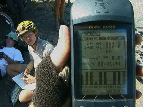
2001 August 12, Sunday. Between the Gulf Developmental Road and Flinders Highway, NW of Malpas Station.
Cycling in the Far North of Australia can potentially be a dangerous undertaking, but even when driving out here, you need to be aware of hazards. Our support truck has its own adventures negotiating the backroads to meets us with supplies. The land is largely untamed and water supply is sparse. Wildlife can be a danger if you do not know how to handle a surprise encounter.
Tourist Maps of the areas we are passing through have many warnings on them for the benefit of travellers who are unfamiliar with the countryside:
“NOTE: Entry to some Aboriginal Communities is restricted and may require approval in writing from the community council.”
“WARNING: Swimming in tropical waters in summer can be dangerous due to marine stingers. Always seek local advice.”
“DANGER: Track conditions are subject to frequent change. Creek crossings are generally unimproved and often difficult to negotiate.”

Other interesting things marked on our maps include Ghost Towns, vast salt pans and marsh land, sand ridges, swamps, caves, ruins, and hundreds of kilometre long roads marked simply ‘surface unspecified’. Relentless erosion owing to the torrential rainy season, can change the condition of unsealed roads at an alarming rate.
Much of the land is changeable, and even with recent maps, it is best to ask locals for advice on the areas you are about to enter. Dry and temporarily dry rivers and lakes are common, and it is difficult to know whether you will face an impossible deluge, a dry, sandy depression, or a lovely clear swimming hole. What can appear to be a town on a map might turn out to be only a small homestead.
What types of things could you mark on a map of the area where you live, which might be unusual to people from different parts of your country, or from around the world? What similarities might there be? Does the land change around the year? Do the roads change? What warnings can you think of which you could tell a tourist who was driving to your house? What could you tell someone who was going to ride their bicycle to your house?
bel