THEME: Road to Lajamanu
SUBJECT: Maths
This unusual marker we came across 40 kms outside Lajamanu is known as a trig, or Trigonometry Point. They are built on the most prominent geological formation in the surrounding countryside so they can be seen from long distances. By sighting two or more Trig Points and taking a compass bearing allows surveyors to accurately determine their position on a map when plotting boundary lines of property, etc.
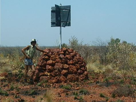
Note the two bisecting square sheets of iron on the top of the pole. This ensures that the full size will be seen from any angle. Lasers are also used with these trig points to accurately determine the distance the trig point is from your position.
For example:
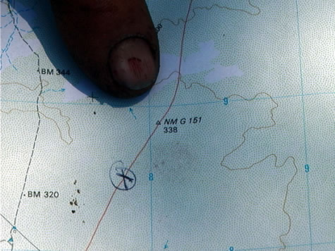
The surveyor can see trig point A and Trig Point B from the homestead. From the map the surveyor knows that the distance between Trig A and Trig B is 12 kilometres. The angle between the compass bearings of A and B is 105 degrees. What is the distance from the homestead to Trig Point A?
Suggested actives:
Can you find any geological landmarks in your area? If so, does a map say the distance between them? Can you use trigonometry to find the distance from your house to one point?
By, Bushman John and his apprentice Crister